 JOHN SINCLAIR
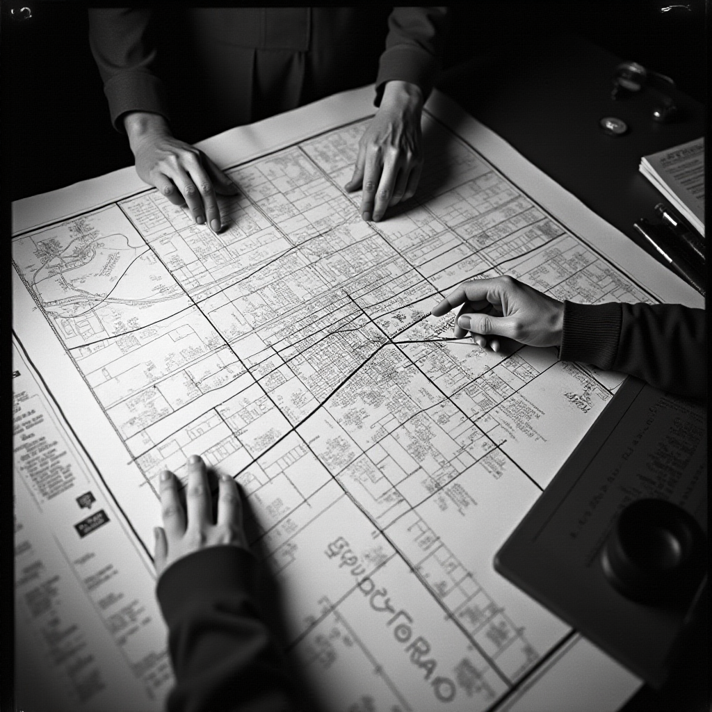
THE MAP
Every map is a lie told by the person holding the pen. The person who draws the map decides what is inside and what is outside and that decision is the first act of power. Before the gun there was the map. Before the wall there was the line on the map where the wall would go. The map is the blueprint of control.
The British drew a line through India in August nineteen forty-seven. Cyril Radcliffe had never been to India. He was a lawyer from London who was given five weeks to divide a subcontinent with four hundred million people into two countries. He drew the line on a map and fifteen million people were on the wrong side of it overnight. One million people died in the migration. Radcliffe burned his papers and never returned to India and never spoke of it publicly. The man who drew the line did not want to see what the line had done. The map does not bleed. The people on the wrong side of the map bleed.
The Home Owners Loan Corporation drew maps of two hundred thirty-nine American cities in nineteen thirty-five. They colored the neighborhoods. Green for best. Blue for still desirable. Yellow for declining. Red for hazardous. The red neighborhoods were the Black neighborhoods. The banks looked at these maps and refused to lend money to anyone in the red zones. They called it redlining. Redlining determined who could buy a house and who could not and who could build wealth and who could not for the next fifty years. The median white family today has ten times the wealth of the median Black family and the line was drawn in nineteen thirty-five. A map from ninety years ago is still deciding who lives where and who owns what.
Gerrymandering draws a congressional district like a snake eating its own tail. The word comes from eighteen twelve when Governor Elbridge Gerry of Massachusetts approved a district shaped like a salamander. Two hundred years later the salamanders are still crawling across every state in the country. They draw a district that wraps around a Black neighborhood and dilutes the vote with three white suburbs. They draw a district that splits a city into four pieces so the city can never elect its own representative. The map is the most efficient voter suppression tool ever invented because the voter does not know the map was drawn against them.
I lived in a city divided by a map. Detroit and Grosse Pointe were separated by Alter Road. One side was Black. The other side was white. The property values changed at the line. The schools changed at the line. The police changed at the line. Nobody built a wall. They did not need a wall. The map was the wall. The address was the wall. The zip code was the wall.
Every border is a line someone drew on a map. Every district is a shape someone chose. Every zone is a decision someone made about who belongs where. The people who draw maps do not live on the borders they create. They live in the green zones. They live in the safe districts. They draw lines around other people's lives and call it governance. The map is not the territory. The map is the weapon. The territory belongs to the people who live on it regardless of what the map says. The people were here before the map. The people will be here after the map is redrawn.